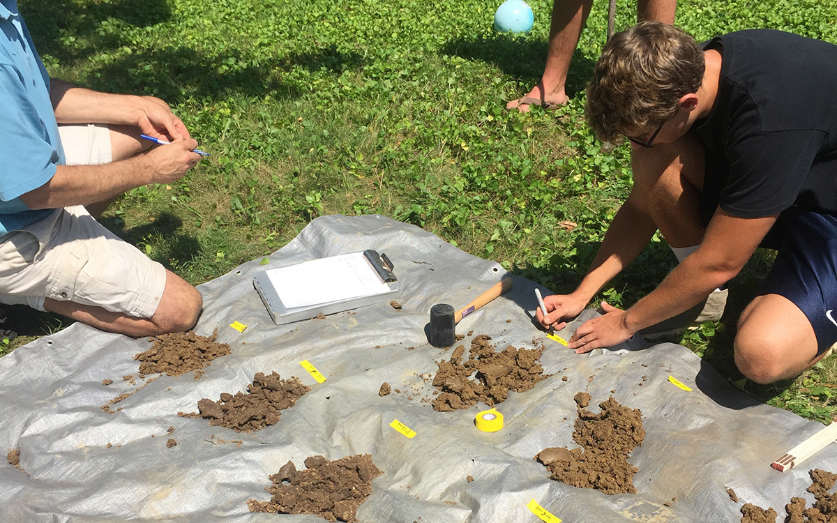
The Role of Soils in GSI Design
The foundation of green stormwater infrastructure is soils. Soil characteristics establish infiltration rates—the quantity of water and the speed at which it can move through soils. Infiltration, in turn, alleviates flooding, as water that absorbs into the soil does not enter and overwhelm stormwater drainage systems.
Soils also contain microorganisms critical to the health of native plants used in many GSI features.
Inadequate knowledge of soil variability and infiltration rates results in suboptimal GSI planning and design decisions, leading to cost inefficiencies and missed opportunities. The underlying native soils play a significant role in GSI performance and are fundamentally important to the effective retrofit of urban land surface.
Understanding Soils for GSI design
Prior to designing green stormwater infrastructure, existing soils should be investigated. Existing soils consist of soils original to the site, and may be either minimally disturbed or highly disturbed by human activities such as construction, infill, and/or compaction. Soils that have been highly disturbed by activities other than agriculture are referred to as urban soils.
Urban soils may be missing microorganisms important for native plant health. Urban soils will often be removed and/or modified to ensure adequate soil health for native plants. This process results in engineered soils—soils that have been modified on site or have been imported to the site to replace removed urban soils.
Native soils refer to pre-development soils. In contrast to both urban soils and engineered soils, native soils underlie disturbed soils at some depth in the urban environment. Native “subsoils” that play a key role in GSI design occur at depths ranging from 0.5 to 2 meters (approximately 18 inches to 6 feet below surface).
The infiltration rate of native soils underneath the GSI installation site should be measured. The depth of engineered soils to be used in the installation will be determined in coordination with native soils infiltration rates. These rates will help determine the GSI design size (Sizing). Soils maps can be used to locate potential GSI locations where higher native soils infiltration rates can support stormwater management at scale (Scaling).
Learn more about incorporating native soils into GSI Design Native Soils
